Nearest Store Visualizer
12-hour Hackathon
12-hour Hackathon
Tools used: Python, Pandas, Folium, Google Cloud Platform
For our final exam of Programming Methods course, we had a 12 hour hackathon to create a Python3 program that is related to COVID-19.
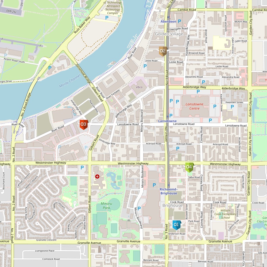
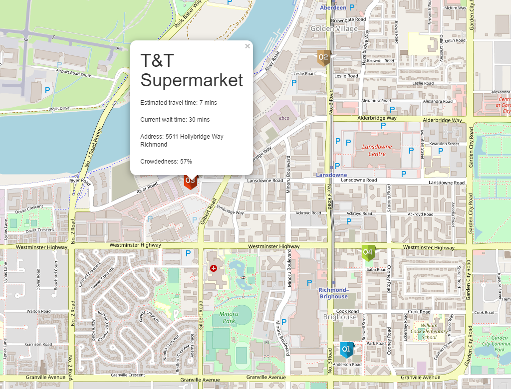
This Python application takes the user's postal code as an input, and it will generate an HTML file containing a map with ranking icons. Each icon represents a grocery store, and the number on top of it represents its recommendation ranking based on travel time, queue time, and crowdedness.
Problem:
The pandemic of COVID-19 brought social distancing into our daily lives and new health regulations, resulting in line ups for grocery stores.
Solution:
To create a nearest store finder and show what stores are open at the time of use based on the user's location, and rank the options based on three criteria: travel time, queue time, and crowdedness.
My Role:
I created functions that parsed information from the Google Cloud Platform API. I also participated in tweaking the ranking algorithm, and created functions that parsed information from the populartimes module that was open source on Github. I was also in charge to making sure our code was complying to PEP8 style and making sure every function has accurate docstrings and doctests that are helpful. I also created functions that wrote a CSV file with store information and ranking. I created functions that generate the folium map that created the visualization of nearby stores and their rankings.